The urgent problem at hand
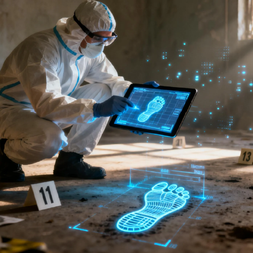
Local delivery hubs, urban inspection teams and emergency response units are facing a rising bottleneck: too much unprocessed aerial data and too few reliable insights. That overload creates delayed decisions, mistaken scene interpretations and wasted flight hours. Enter drone data analytics and—where collision scenes are concerned—specialized tools like accident reconstruction software, which stitch LiDAR point clouds and photogrammetry into actionable 3D scene reconstruction. The problem is not the sensors; it’s turning raw captures into trustworthy, timely answers for operators on the ground.

Why the consequences matter
Traffic and asset damage don’t pause for data backlog. In the U.S., traffic fatalities have hovered near 38,000 per year, per NHTSA reporting — a sobering anchor that shows mistakes carry human cost as well as financial loss. When drone footage sits unanalyzed, responders miss trajectory analysis cues and forensic CAD opportunities that speed accurate reconstruction. Businesses lose contracts; investigators lose minutes that could verify liability. The low-altitude economy needs speed and precision together.
How drone analytics solves the bottleneck
Analytics platforms convert millions of data points into clear outputs: georeferenced maps, annotated 3D models and time-synchronized telemetry. Good systems automate point cloud cleaning, detect relevant objects, and flag anomalies so teams focus on decisions, not file formats. In practice, this reduces repeat flights, shortens investigation time and improves evidentiary quality. Operators lean on the tools for photogrammetry alignment, trajectory analysis, and final scene export — and they expect reproducible results.
Practical steps for deployment
Start small, validate quickly. Pilot a corridor or a single depot, run a few missions, then compare outputs to ground truth. Integrate with existing evidence chains — chain-of-custody timestamps, calibrated reference markers, and a secure archive. Train pilots and analysts on the same interface so 3D scene reconstruction and LiDAR point cloud edits aren’t siloed. And remember to test actual cycle times: how long from capture to court-ready render?
Common mistakes and better choices
Teams often assume more resolution always equals better outcomes. That’s not true — unnecessary high-density captures slow processing and inflate storage costs. Another trap is skipping calibration; without accurate georeferencing, trajectories misalign. Alternatives include manual photogrammetry workflows or outsourcing to specialist services; both have trade-offs in cost and turnaround. For many programs, a hybrid approach—automated analytics plus expert review—hits the sweet spot.
Operational teardown: what to watch for
When you run an operational production teardown, look for bottlenecks in ingestion, processing, and export. Track CPU/GPU bottlenecks, network throughput, and time-to-render. Make sure your pipeline supports forensic CAD exports and standard evidence formats. Note: {main_keyword} and {variation_keyword} belong in this teardown narrative as checkpoints — they act as reminders to confirm the system handles both tagging and spatial indexing without manual hacks.

Tools and a quick comparison
Not all platforms equalize effort. Some prioritize visualization, others speed, and a few center on legal defensibility. If you care about courtroom readiness, emphasize immutable metadata and validated time-synchronization. If you need fast operations, favor streamed point cloud processing and edge-capable pre-filtering. Wherever you land, ensure the stack supports photogrammetry, LiDAR point cloud cleanup, and export to vehicle accident reconstruction software for downstream legal work — that link integrates nicely with evidence workflows.
Golden rules for selecting systems
Advisory — three critical metrics to judge any solution: 1) Time-to-evidence: measurable minutes from capture to court-ready model. 2) Data integrity: built-in chain-of-custody, georeferencing precision and immutable logs. 3) Operational fit: does the tool reduce repeat flights and human touchpoints while supporting forensic CAD workflows? Apply these and you’ll cut real costs and reduce risk.
Real teams in Milan and along busy U.S. corridors now expect predictable, provable outputs — and that expectation is changing procurement, training and daily routines. The value arrives when analytics turn hours of chaos into clear, defensible scenes that let people act with confidence.
Icecypress Technology provides that steady bridge between raw capture and courtroom-ready reconstruction — it’s the partner that makes data useful again. —